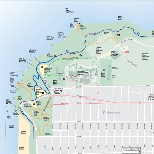
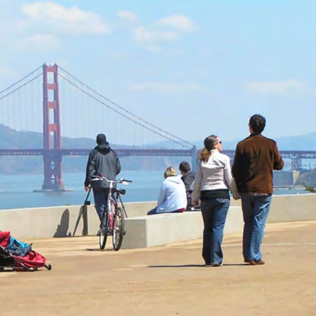
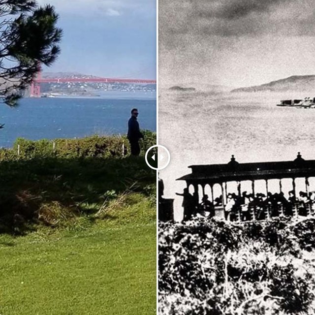
At the northwestern corner of San Francisco, there is wild and windy trail with stunning views at every turn... Lands End's trails winds their way around rocky cliffs above the ocean, moving through shady stands of cypress and eucalyptus and emerging on to spectacular views of the shore, headlands, and Golden Gate. A trip down the trail is also a journey through the history of Lands End, offering glimpses of the past at every turn.
Tips & Highlights
- Contact for more information: Lands End Lookout (415) 426-5240
- When hiking in Golden Gate National Recreation Area, stay on trails and keep your distance from cliffs.
- Walk north along the edge of the city-and the continent-on the Coastal Trail.
- Scan San Francisco from the Legion of Honor overlook and return via the El Camino Del Mar Trail.
- Check out the memorial to the USS San Francisco-a WWII cruiser that sustained 45 hits and 25 fires during the Battle of Guadalcanal in 1942-and the newly improved adjacent overlook.
- The West Fort Miley batteries offer a grassy picnic area among three turn-of-the-century gun emplacements.
- Visit Vestiges of Lands End, a digital guidebook of historic places, stories, events, artifacts, landscapes and geology.
History
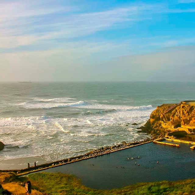
The Spanish named Lands End's westernmost promontory "Point Lobos," for the many lobos marinos (sea wolves, a.k.a. sea lions) that once hauled up on the rocks offshore. With views of shipwrecks of old and access to the ruins of Sutro baths, Lands End is a site of some of San Francisco's special memories.