• View of the Golden Gate Bridge, taken from the Marin Headlands, looking across the bay back towards San Francisco, seen in the distance.

    Golden Gate

    National Recreation Area California

There are park alerts in effect.
show Alerts »
  • Tunnel to Marin Headlands Closed

    The tunnel on Bunker Road from Alexander Avenue in Sausalito towards the Marin Headlands is closed for construction. Please follow the detour signs to Conzelman Road (just above the north end of the Golden Gate Bridge) to go up over the hill. More »

  • Muir Beach (but not nearby Muir Woods) parking lot closed June-November 2013

    Muir Beach parking lot will be closed from June-November 2013 due to construction. Restrooms or nearby parking will not be available at Muir Beach during this period. Pacific Way is closed except to residents. Check back for updates or call (415)561-3054 More »

  • CAUTION: Post Storm Damage to Coastal Trail

    The Presidio Coastal Trail segment just north of the Pacific Overlook and adjacent to Lincoln Blvd remains CLOSED indefinitely. We have posted signage to alert bicyclists and hikers and with information for safe trail alternatives. More »

Natural Resources Image Gallery

California Poppies near Fort Barry
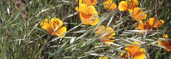
Golden Gate NRA, Park Archives, Various Sites in the GGNRA, 1982-1993, GOGA-2983.134
 

The holdings of the Golden Gate National Recreation Area feature some of the most beautiful landscapes and complex ecosystems in the Bay Area. In this gallery, explore images that highlight these magnificent natural resources.

Images within these albums may be used for any legitimate non-commercial public or press use with proper credit given to the National Park Service.


Did You Know?

Seafloor rocks exposed at the Marin Headlands

To take a hike on the seafloor, explore any of the trails around the Golden Gate headlands, where you are surrounded by slabs of ocean crust that have crept thousands of kilometers on a tectonic journey to end on dry land.