
NPS photo Golden Gate is literally surrounded by large bodies of water. This Pacific Coast contains the only opening to the interior of the state for nearly 1,000 miles of coastline. The Sacramento and San Joaquin Rivers drain nearly 40% of the watersheds in California. And all of this flows out of the Golden Gate. San Francisco Bay is one of the largest on the entire West Coast. Early British explorers marveled that they could fit the entire fleet of England into its berth! The Bay was originally ringed with tidal salt marshes and coastal lagoons, over 90% of which have since been destroyed. Further inland, the varied water resources of Golden Gate include groundwater springs, freshwater streams and ponds, and seasonal wetlands. Eight significant watersheds are located within the park. They are, from north to south, Lagunitas Creek, Olema Creek, Redwood Creek, Elk Creek, Rodeo Creek, Lobos Creek, West Union Creek, and the San Francisco Watershed lands in San Mateo County. Eleven rare species are associated with GGNRA waters, including eight federally listed species: the California freshwater shrimp, tidewater goby, red‑legged frog, Sacramento River winter‑run chinook salmon, steelhead trout, coho salmon, and San Francisco garter snake. Water Quality in the park is monitored at beaches for public safety. 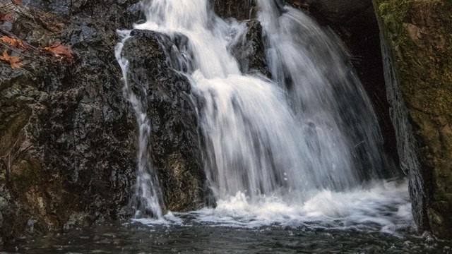
Quick Reads
Browse articles and information summaries about hydrological activity at Golden Gate. 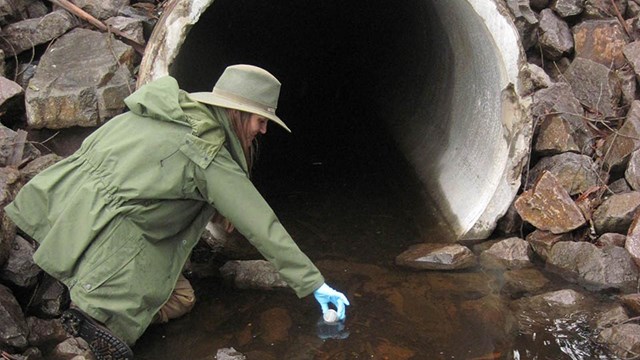
Blog
Get the latest on hydrological activity from the Bay Area Nature & Science Blog. 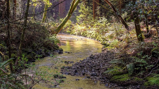
Water Quality Monitoring
Dig in to monitoring protocols, reports, and more on the San Francisco Bay Area Network's Water Quality Monitoring page. 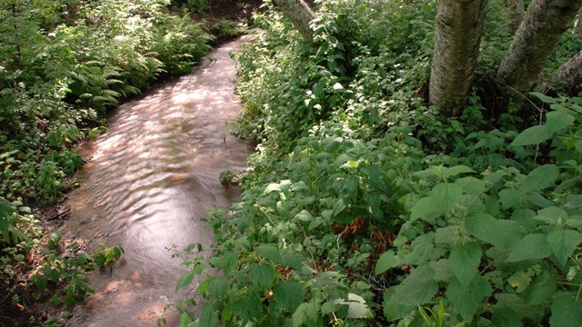
Streamflow Monitoring
Check out more articles and information on the San Francisco Bay Area Network's Streamflow Monitoring page. |
Last updated: June 28, 2024