|
Fire control used a system of observation posts, plotting rooms, and command stations. Radar and listening devices were used to detect incoming aircraft, searchlights helped aim the guns at night, and observation planes flew out of Hamilton Airfield in Marin County. The Army and Navy coordinated the entire operation from the Harbor Defense Command Post at Fort Scott.
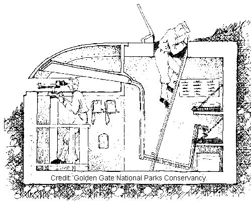
Image courtesy of the Parks Conservancy 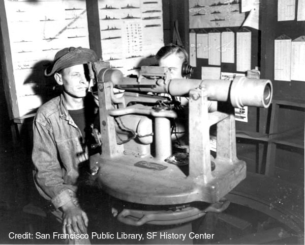
Photo courtesy of the San Francisco History Center, San Francisco Public Library 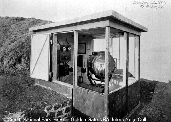
PARC, Golden Gate National Recreation Area 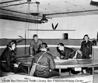
Photo courtesy of the San Francisco History Center, San Francisco Public Library |
Last updated: February 28, 2015