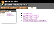
- What is GIS?
- What are those buttons? What do they mean? And how do I use them?
- What is Park Locator?
- What is Park Atlas?
- What is Resources?
- Why do data layers display and then go away when I zoom?
- Why does this site look the way it does?
- Where does the data come from anyway?
- Data Liability Statement
- Common problems and solutions.
| US Department of the Interior | FOIA | Privacy Policy | Disclaimer | USA.gov |