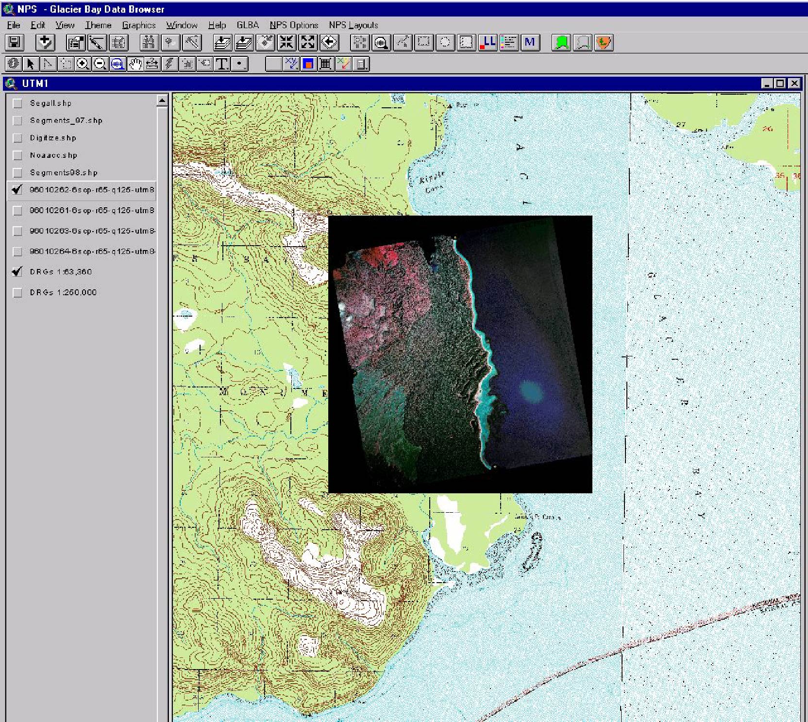
An illustration of an infrared aerial photo georeferenced into a useable map. Segment polygons are then heads-up digitized on the aerial photo to be linked to the database.