The Future of Data Capture, Analysis, and Display
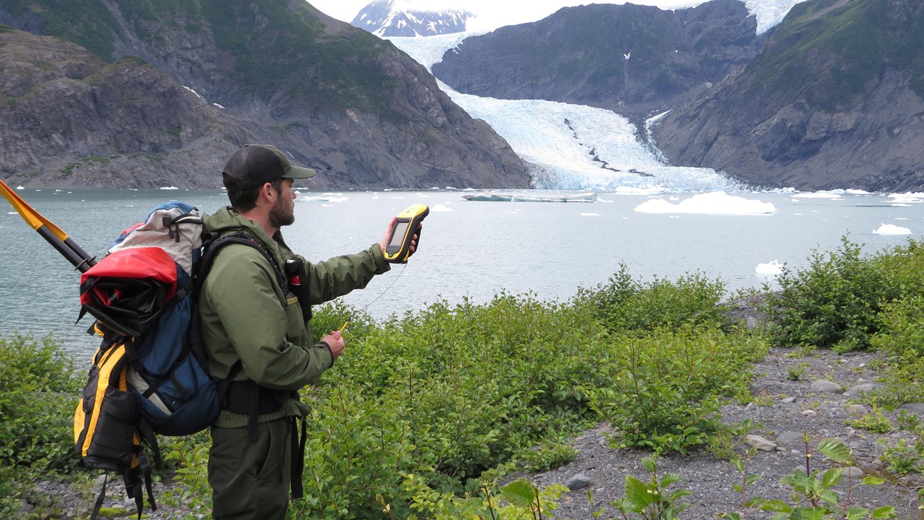
The NPS uses geospatial data and tools to promote understanding of the natural and cultural resources on our protected lands and waters. Geographic information systems (GIS) mapping, visualization and analysis contribute at all levels of the agency, supporting resource protection and related activities in interpretation, research and operations.