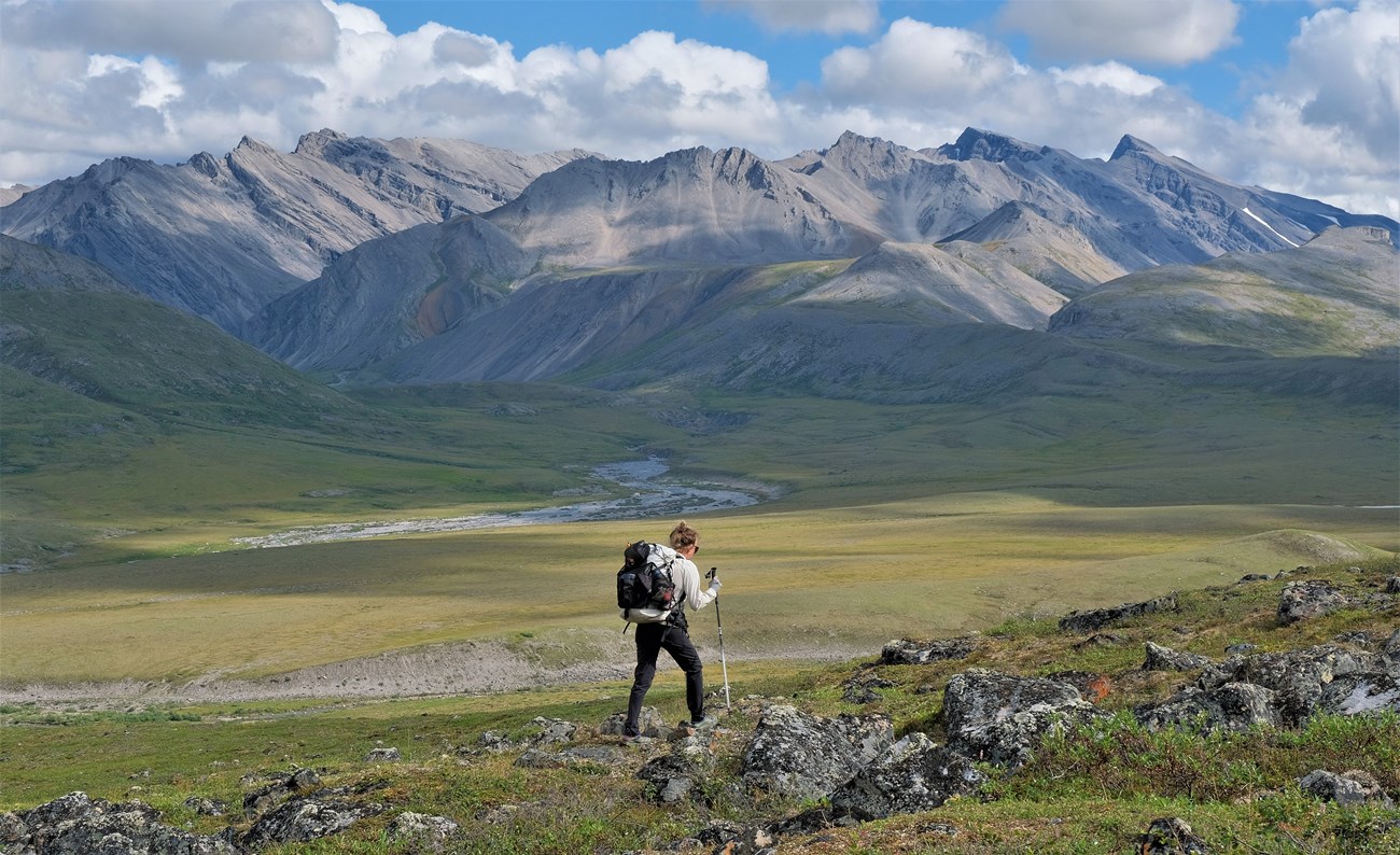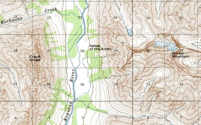
NPS/Josh Spice Traveling through the park on foot affords opportunities of exploration and discovery. Mountain ridges and passes reveal splendid vistas and can take you to the most remote and least traveled areas of the Park and Preserve. SafetyDetailed route planning is not addressed on this website, because Congress set this land aside as a trail-less wilderness area, specifically so that each visitor can find their own experience here. The park does not provide route planning for several other reasons: Due to the fragile nature of the arctic groundcover, repeated use of a route tends to impact it very quickly, and it can take a long time to recover. Also, we cannot effectively evaluate the skill-level of our visitors, and the fluctuating conditions of the area will have a great effect on the route chosen. Experienced hikers in the Gates of the Arctic National Park & Preserve consider six miles a good day's travel. There are no established trails, and the dense vegetation, tussocks, boggy ground and frequent stream and river crossings significantly slow your progress and pose multiple safety concerns, alongside the unpredictable and diverse weather conditions. PersonalIt is recommended that visitors have at least one alternate route planned. In the event of bad weather, high or low water, or smoke from wildfires, visitors have a better chance having an enjoyable trip if there is some flexibility built into their itinerary. Risks to keep in mind when planning your trip are harsh weather, rugged terrain, wildlife, swift rivers, cold water, extreme isolation, mental/physical exhaustion, hypothermia, and giardia. Firearms are legal in the park but can only be discharged in the defense of life or property. You will be held accountable for inappropriate dischargement. RiverCrossing rivers is one of the most dangerous activities done in the park. You will find easiest walking above the tree line or in the streambeds, if the water level is low. There are so many rivers in this area that you are likely to have to cross one or more during your trip. The water levels fluctuate continuously due to weather conditions, but the highest levels are generally in the spring during the run-off. The best strategy is to take your time, wait for the river to ebb, use group crossing techniques, utilize eddies and gravel bars, and face upstream if crossing solo. BoatingThe water temperature is always cold and a swim in the river can be deadly. Highest risks when boating include sweepers, strainers, and deceptive rapids. Always wear a PFD, always carry a throw bag, always secure your boat, and never camp on an island. BearGates is home to a variety of dangerous wildlife, including both grizzly and black bears. It is important to know bear safety rules, what to do in the case of an encounter, and how to use bear spray and/or a firearm. Visit our Bear Safety page for the best tips and information in order to be fully prepared. If you have a negative encounter with a bear, fill out a Bear-Human Encounter Report Form at a visitor center. BRFCs are required in gates. Scroll down to the Reducing Impact section for more information on BRFCs. Communication and WayfindingCell phones do not work in Gates. Ground to air radios, Iridium satellite phones, and Personal Locator Beans may provide help in emergency communication. Two-way communication devices are strongly recommended. Search and Rescue (SAR) is not readily available and is not initiated until a missing person is reported. It is important to file a Backcountry Visitor Registration and leave it with a dependable person in order for your safety. 
Reducing ImpactThis ecosystem is extremely fragile and easily impacted. Damaged lands may never recover. It is important to:
When disposing of waste:
Ursacks are considered BRFCs and are permitted in the park but are not loaned from these locations and are not typically recommended. Multiple sizes of river barrels and backpack barrels are offered per availibility. Considerations

NPS/Josh Spice |
Last updated: July 2, 2025
