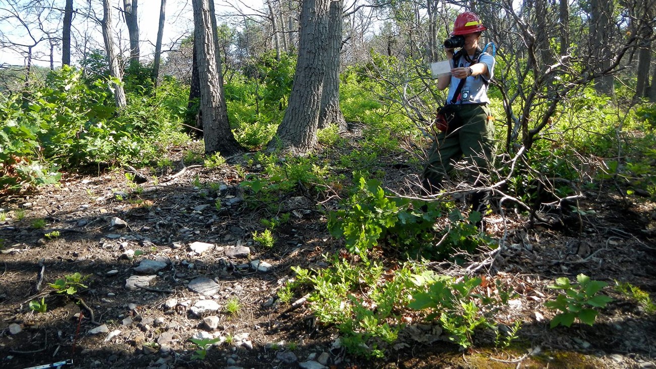
Havoc & destruction? Or renewal & life? Or both?
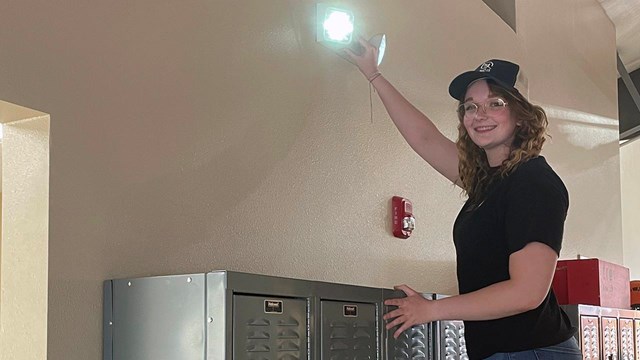
At its simplest explanation, fire is a chemical reaction — oxygen reacts with fuel that is heated to sufficient temperature, causing ignition and flames. The national parks have the potential to deal with both structural fire and wildland fire within park boundaries. Structural fire and wildland fire are unique programs, requiring different expertise. On this site, learn more about fire in your national parks.