CESIMOD08-1


Spatially Distributed Hydroecosystem Modeling of Everglades Ridge and Slough Landscapes
James Jawitz


MOD08-1River of Grass Shark Valley
Shark River Slough, Everglades National Park
 

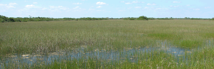
This project resulted from an effort to expedite development of RECOVER Interim Goals and Targets, which are required to evaluate success of the Comprehensive Everglades Restoration Plan (CERP). The success of restoring contiguous flow across the Everglades depends on reliable predictions of how the ridge and slough landscape changes with alternative hydrologic management plans. The ridge and slough landscape is the area most associated with the iconic "River of Grass".

Analysis of model output created by this project suggests that detectable amounts of organic fine sediment is transported from sloughs to the adjacent ridge areas in measurable and predictable quantities. Study results conclude that this is the principle process forming the distinctive ridge and slough landscape configuration. The Everglades Depth Estimation Network (EDEN) database, maintained by the U.S. Geological Survey, was used to validate the independently calculated bathymetry used in the model.


FOR DOWNLOAD

Final Report
Spatially Distributed Hydroecosystem Modeling of Everglades Ridge and Slough Landscapes


Contact the principal investigator directly with questions about this study

Last updated: February 20, 2018

Park footer

Contact Info

Mailing Address:

40001 State Road 9336
Homestead, FL 33034-6733

Phone:

305 242-7700

Contact Us