Last updated: February 18, 2021
Place
Essex National Heritage Area
Essex National Heritage Area / Tara Flanagan
Quick Facts
Location:
Essex County, MA
Significance:
Native peoples of this area migrated between the coast and inland forests, fishing and gathering in cycle with the changing seasons, while the Puritans settled in tightly knit communities and tried to cultivate the rocky soil. By the early 18th century, this Area began to prosper, finding its greatest source of sustenance in the sea. The early coastal settlements grew into prosperous seaports specializing in shipbuilding, coastal fishing and exporting fish overseas. These skilled maritime inhabitants became the leaders in the march towards the American Revolution, boldly defying British restrictions and volunteering their ships and crew to support the infant American Navy. After the war, when the British banned trade with the new American nation, the Area's merchants sent ships to the Far East, importing exotic goods such as coffee, tea, pepper, and spices in great abundance. Wealth earned from the sea was soon invested in manufacturing of shoes and textiles.
Designation:
National Heritage Area
MANAGED BY:
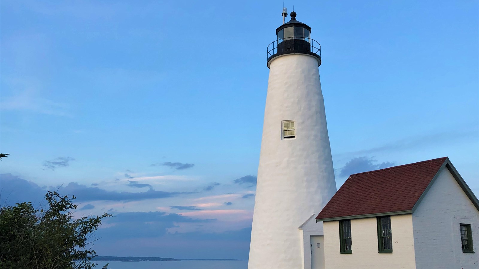
In 1996, the United States Congress recognized the national significance of the historic 500-square-mile region north of Boston, Massachusetts, by establishing the Essex National Heritage Area (Essex NHA).Essex NHA covers 34 cities and towns and is managed by Essex National Heritage Commission (Essex Heritage), a nonprofit organization that rallies communities around promoting and enhancing the unique character of Essex County. This includes the thousands of historic, cultural, and natural places that were crucial in shaping our nation; the places that led to this region's designation as a National Heritage Area; the places that make Essex County like nowhere else.Essex Heritage involves residents in actively supporting over 10,000 historic, cultural and natural places that make this area a great place to live. They do this by offering inspiring events like Trails & Sails—which boasts 150 unique experiences over 10 days—and by developing programs and partnerships that support the hundreds of heritage organizations and historic sites within the National Heritage Area. Essex Heritage also owns and maintains the 10 acre Bakers Island Light Station at Bakers Island in Salem Harbor. Essex Heritage provides public access to the light station for special tours and overnights during the summer season. For more information about Bakers Island Light Station, visit https://www.BakersIslandLight.org.Essex NHA is home to:
- 344 individual historic structures listed on the National Register of Historic Places
- 322 National Register Districts
- 86 cultural institutions
- 35 National Historic Landmarks
- 22 State Parks
- 2 National Park Service units
- Salem Maritime National Historic Site
- Saugus Iron Works National Historic Site
- 1 National Wildlife Refuge