Telescope Peak

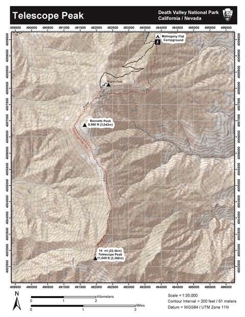
Image of a topographic map to Telescope Peak.
Topographic map of Telescope Peak - Death Valley

NPS/Dan Kish

Length: 14 mile (22.5km) out and back, round trip
Time: 7 hours round trip
Difficulty: Difficult
Elevation Gain: 3,000 ft (914m)
Location: The trail to Telescope Peak begins from Mahogany Flat Campground at the end of Upper Wildrose/ Emigrant Canyon Road. High clearance and 4x4 are recommended for the final 1.5 miles to the campground. The road is steep, rough, and narrow. Hikers with low-clearance vehicles should consider parking at the Charcoal Kilns and walking the road to the trailhead.
Parking: 25 ft vehicle limit. Open gravel area.
Closest Restroom: Vault toilet in parking area. No restroom along the trail, follow principle 3 of Leave No Trace (LNT).
GPS Data: GPS data for the unmarked route is for supplemental purposes only. Take a map and compass when exploring the trail-less wilderness.

  • GPX file: (universal format for use in most mobile applications and GPS units).
  • KML file: (used with some mobile applications and Google Earth & Maps).
 
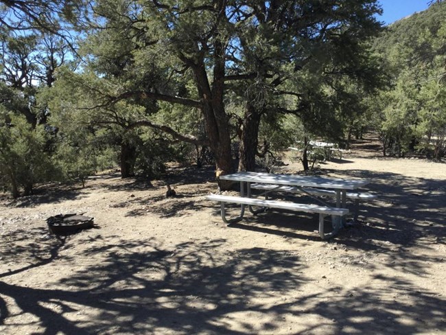
A campsite in the trees with a picnic table and firepit.
Mahogany Flat Campground has 10 spaces and fill typically on holidays.

NPS

Route Description

The 10 space Mahogany Flat Campground located at the trailhead is the ideal place to spend the night and acclimate to the high elevation. There is no water at the camp.
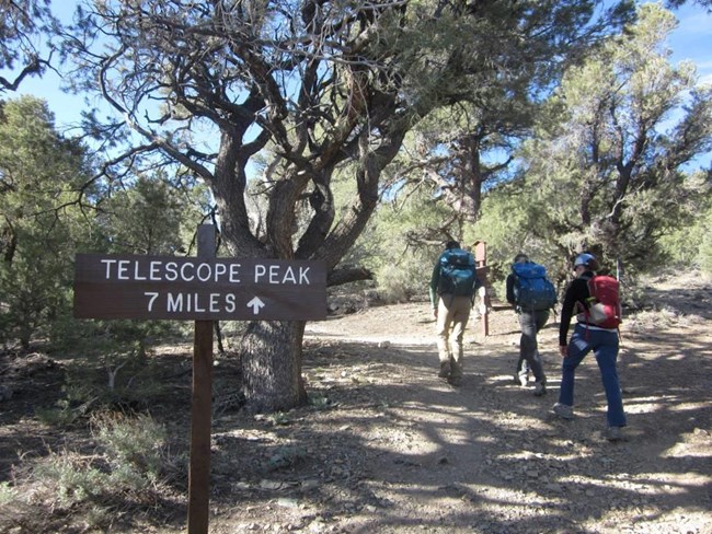
 
Three hikers walk up a forested trail past the sign to Telescope Peak
The trailhead at Mahogany Flat Campground

NPS - Dan Kish

The trail immediately begins as a steady climb along the eastern slope of the Panamint Mountains.
 
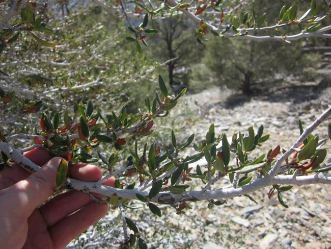
A hand bends back a branch in order to identify the species of tree.
Mountain mahogany (Cercocarpus ledifolius)

NPS - Dan kish

Pinyon pine (Pinus monophylla) and the sweet smelling mountain mahogany (Cercocarpus ledifolius) line the trail reaching high overhead competing for light. Hiking through this forested tunnel the trees obscure all but the slightest views of valley floor sitting over 8,000 feet (2438m) below.
 
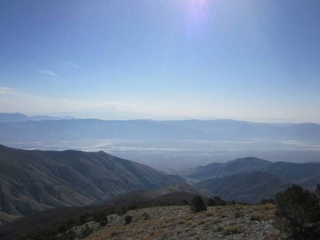
View into a valley with salt flats and mountain ranges
View from Telescope Peak Trail into Death Valley

NPS - Dan Kish

In less than 1 mile (1.6km), the vegetation finally gives way to the first of many unobstructed and breathtaking views into Death Valley.
 
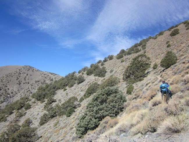
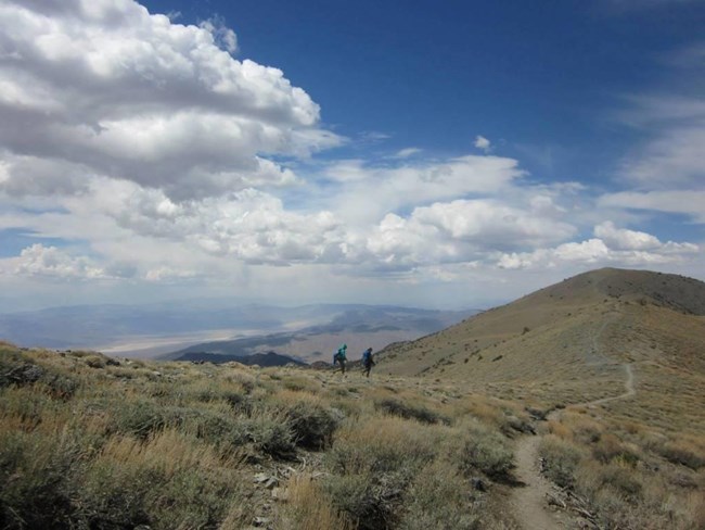
Two hikers work their way along a narrow slope between two peaks.
The narrow trail maintains a steep grade as it winds beneath Rogers Peak toward Arcane Meadows.

NPS - Dan Kish

The trail continues the steady grade below Rogers Peak as it turns sharply west overlooking the middle fork of Hanaupah Canyon.
 
A view into a valley with mountains in the distance.
Death Valley from Arcane Meadows.

NPS - Dan Kish

At mile 2.4 (3.9km) it levels out at Arcane Meadows where views into both Panamint and Death Valleys.
 
A high alpine meadow with short vegetation.
Arcane Meadows

NPS - Dan Kish

The meadow nestled between Rogers and Bennett Peaks is a popular camp for those wishing to backpack the route rather than day hike.
 
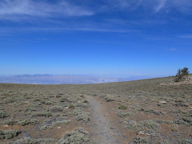
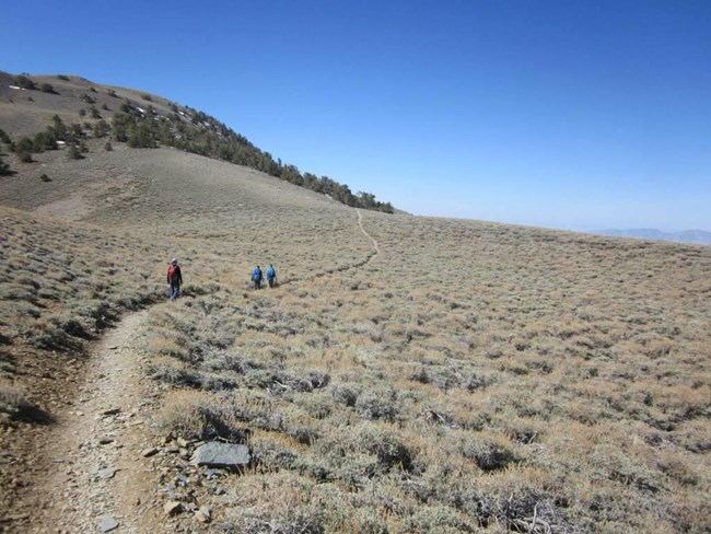
Three hikers walk up a winding alpine trail toward some trees.
Leaving Arcane Meadows

NPS - Dan Kish

For the next 1.5 miles (2.4km) the trail meanders along the flat and narrow ridgeline passing the occasional limber pine (Pinus flexilis) and some of the best views in the entire park.


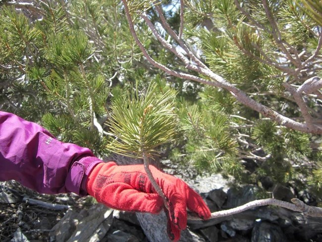
A pine tree limb is bent back by a gloved hand to show the flexibility of Limber Pines
Limber pines (Pinus flexilis) are known to live over 2,000 years.
 
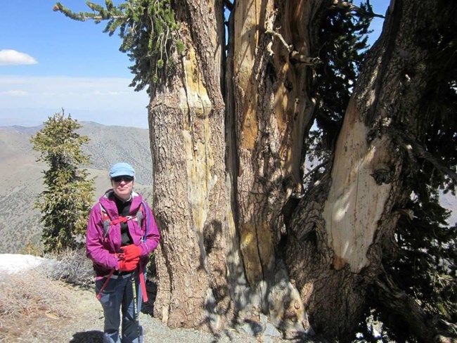
A hiker wearing sunglasses stands in front of a large bristlecone pine tree.
Bristlecone pine high up in the Panamint Mountains on Telescope Peak Trail.

NPS - Dan Kish

The next 3 miles (4.8km) gains over 1,000 feet (305m) as it steeply switchbacks amongst the ancient bristlecone pines (Pinus longaeva).
 
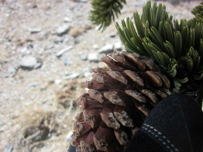
A cone from a bristlecone pine held in hand to demonstrate the tiny bristles.
The tiny bristles of bristlecone pines.

NPS - Dan Kish

Bristlecone pines ((Pinus longaeva) are known to live over 5,000 years and are some of the oldest living creatures on earth.
 
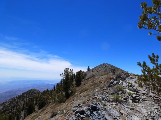
A trail meanders up a narrow ridge toward a mountain peak.
Ridge up to Telescope Peak

NPS - Dan Kish

The final 0.2 miles (0.3km) up the narrow ridge to the summit may test the nerves of those with a fear of heights.
 
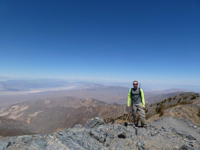
A hiker stands on top of a mountain peak along a narrow ridge.
Telescope Peak Summit
Telescope Peak sits 11,049 foot (3,368m) above sea level.
 
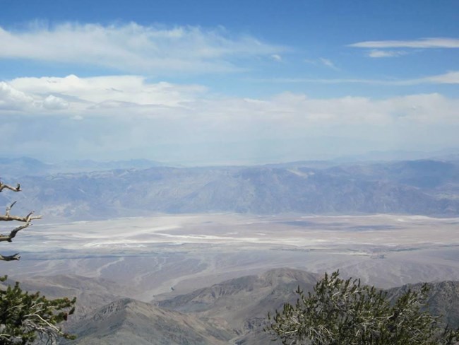
A view of salt flats and mountains from the highest point overlooking Death Valley.
Death Valley from the summit of Telescope Peak.
To the east at over 11,331feet (3,454m) below sits the lowest point in North America,
Badwater Basin at -282 feet (-86m) below sea level.
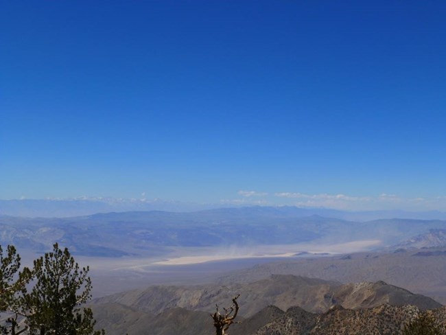
 
The view from the highest point in Death Valley to snow covered mountains on the horizon.
Panamint Valley with the Sierra Nevadas on the far horizon.

NPS - Dan Kish

On a clear day look far to the western horizon for the Sierra Nevada Mountains where Mount Whitney rises to 14,505 feet (4421m) as the highest point in the contiguous United States (lower 48 states).
 
Two hikers descend to an alpine meadow from a narrow ridge.
Telescope Peak Trail

NPS - Dan Kish

Return via the same route.

Last updated: June 24, 2018

Park footer

Contact Info

Mailing Address:

P.O. Box 579
Death Valley, CA 92328

Phone:

760 786-3200

Contact Us