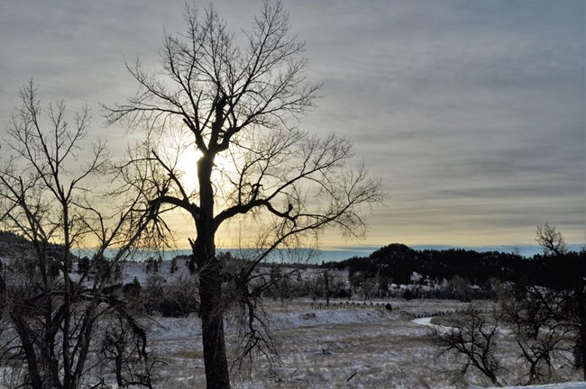
NPS/S. Carter Many old, dead cottonwoods line the Belle Fourche River near the entrance to Devils Tower National Monument, and no young cottonwoods or willows are replacing older trees. Other native vegetation along the river corridor (called the riparian zone), is being replaced by non-native species. Long ago, the Belle Fourche River flooded in the spring, inundating the river banks with water and allowing regeneration of the cottonwood seeds. But the river no longer floods in the spring, and the cottonwoods cannot regenerate. Because the Belle Fourche River often washed out the bridge, in 1937, the Park Service changed the course of the river. Concrete tetrahedrons (which can still be seen from the bridge) were placed along the bank, forcing the river out of its original meandering streambed and into a straight course. In 1952, the Keyhole Dam was constructed, eliminating flooding altogether. Today, without seasonal flood water, it is difficult for cottonwoods to produce new seedlings, and the old trees are dying off. |
Last updated: May 8, 2019
