|
UNIT 28
The majority of this unit lies on the northern flanks of the Outer Range and includes the entire upper Sushana River watershed. Other than the high ridge system that separates most of it from the Park Road, the unit is mostly a network of low ridges and broad hillsides. The vegetation varies from small areas of alpine terrain on the high ridge at the southern end to spruce forests and tussock tundra in the northern sections. 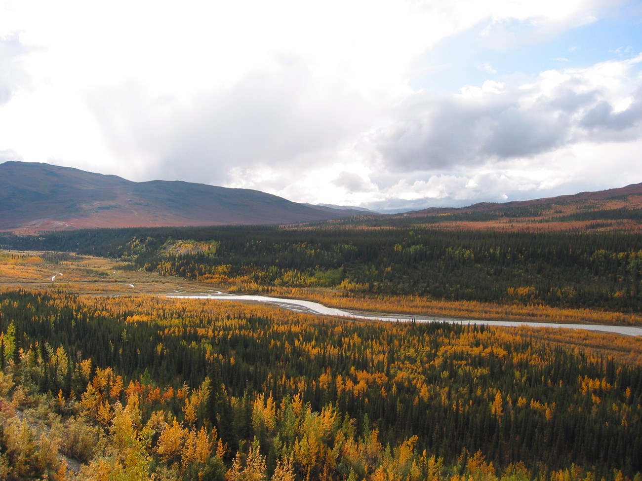
NPS Photo Tips/Special Features The northern portion of this unit is rarely visited, yet it still provides many opportunities to see all the major species of park wildlife. Reaching this unit typically requires a crossing of the Teklanika River and a steep climb up a brushy hillside for at least 2-3 hours. The river crossing can be avoided, but the tradeoff is a 4 mile hike north along the Teklanika River from the west side of the Teklanika Park Road Bridge. The fall color displays in this area are usually spectacular in late August.
It is a one and a half hour bus ride to this area. The most direct access to the unit is to get off the bus where the Park Road first starts paralleling the Teklanika River (between Mile 25 and 26) and cross the river where it is well braided. You also could get off on the west side of the Teklanika River Bridge and hike 4 miles north along the flat river bar. Despite the river crossing and difficult approach to this unit, there are some surprisingly good opportunities for loop hikes. It is best to have at least 2-3 nights in this area due to its size and difficult terrain. Between Miles 25 and 26, drop down to the gravel bar and cross the river where it is most braided. Once on the west side of the river, you can camp in the spruce forest or ascend to the major ridge that separates the Teklanika and Sushana drainages. The best way to access the ridge is to ascend an arm of the ridge, not the stream drainages. The drainages are choked with thick alder and willow which make travel painfully slow and frustrating. The ridges farther to the north have shorter sections of forest and brush, but are much steeper. 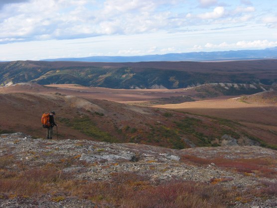
NPS Photo Once on the high Sushana ridge system, you can traverse on tundra or low shrub vegetation northeast or southwest and enjoy expansive views of the Alaska Range and Interior Alaska. You can drop down to the drainages on the northwest and follow several small tributaries until your reach the main channel of the Sushana. Once on the main channel, the travel is mostly along a gravel bar to the park boundary. If you continue north and leave the park, please respect private property near the Sushana River by not entering or disturbing cabins or hunting camps. There are many extended trips you can do in this area of the Outer Range, as the ridges and drainages present a maze of opportunities. There is a major east to west pass around the area where Units 28, 29, 30 and 37 come together. This pass can be descended in either direction as part of a route back to the Park Road. More information about this route is presented in the information for Unit 29 and 30. You can use both ridges and drainages to get around in this area, but in general it is best to stay high and avoid the wet tundra and brush in the drainages of the unit. It is possible to continue west along the northern flank of the Outer Range to the East Fork River and then follow the River upstream to the Park Road (Unit 30). These long routes are only recommended for hikers who have experience in multiday cross-country hiking and have excellent map reading and compass skills. For such hikers, these routes provide a chance to see parts of Denali that are rarely visited and contain exceptional wildlife viewing and scenic opportunities.
It can be difficult to camp out of sight of the Park Road along the Teklanika River. Avoid crossing the Teklanika River wherever the river runs as a single channel. Traveling downstream along the Teklanika River through the Outer Range should not be attempted because it flows into a steep-sided canyon that is impassable on foot. Watch out for lightning storms and high winds on the exposed ridges in the summer months. 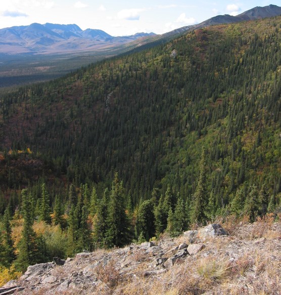
NPS Photo |
Last updated: April 14, 2015