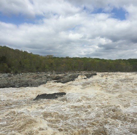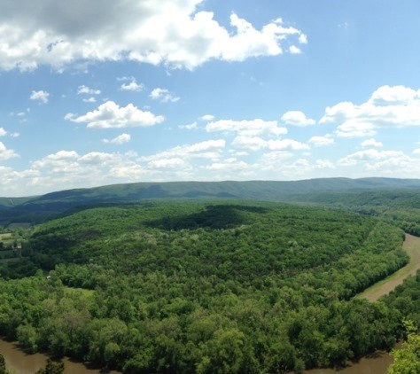
NPS Photo Along the 184.5 miles of the C&O Canal are countless vistas of natural scenic beauty, historic landscapes, and sites that are a blend of both. In the early 1800's, Canal Company engineers built the canal and towpath to take advantage of the Potomac River as the water source and as a westward route through mountainous terrain. Unintentionally, this design left a scenic corridor of historic features, as well as the natural floodplain and upland Piedmont forests of the Potomac River ecosystem.

NPS Photo Often running parallel to the towpath, the Potomac River extends over 383 miles from Fairfax Stone, WV to Point Lookout, MD, eventually flowing into the Chesapeake Bay. This proximity to the river provides many scenic views of the Potomac, as well as many opportunities for recreational activities such as fishing, kayaking, and birding. In Montgomery County, the Potomac River eventually runs into the Potomac Gorge, where it will drop from an elevation of 140 feet to just 10 feet above sea level in a short 15 mile span. Because of the unique geology and hydrology, this region supports many different habitat types and is considered one of the most biologically diverse areas in the National Park System.
The Paw Paw Tunnel was built to circumvent several miles of the river along the Paw Paw Bends, making it easier and less time-consuming for canal boats to come through. Today, visitors can hike the Tunnel Hill Trail, which lets them traverse both over and through the tunnel itself. Along the Tunnel Hill Trail and other areas of the Park in this region, visitors can catch unique scenic views of the Paw Paw Bends area of the Potomac River.
|
Last updated: December 22, 2017
