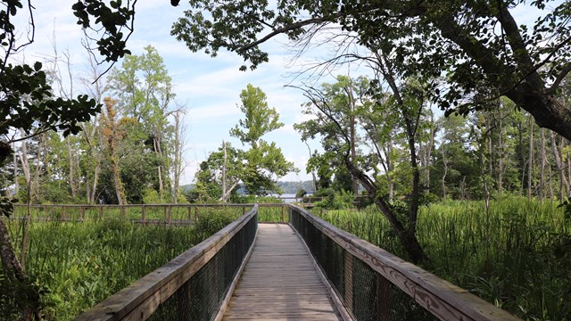
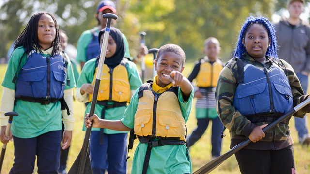
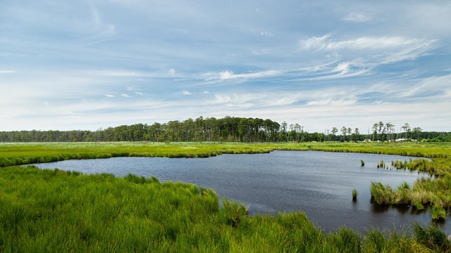
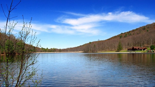
• The working watermen community of Tangier Island VA at sunset. Photo by Starke Jett.

    Chesapeake Bay

Plan Your Visit

The Chesapeake Bay is big - 200 miles long, and from 3 to 35 miles wide - and stretches from Havre de Grace, Maryland in the north to Norfolk, Virginia in the south. The Chesapeake and its tidal tributaries have 11,684 miles of shoreline - more than the entire U.S. west coast. Even if you live here, you'll find it difficult to see it all.

The National Park Service has been helping visitors experience the Chesapeake through these trails and programs:

· the Star-Spangled Banner National Historic Trail,

· the Captain John Smith Chesapeake National Historic Trail, and

· the Chesapeake Bay Gateways and Watertrails Network

Visit each trail's companion website for interactive maps of resources and activities in the Chesapeake region. You can also visit the Gateways Network companion website for a listing of attractions by region, theme, or activity. And if you have a tablet or mobile device, download the official National Park Service mobile application, Chesapeake Explorer, to have information at your fingertips.

Tourism offices can assist you with additional information about lodging and dining:

State of Maryland

Commonwealth of Virginia

Commonwealth of Pennsylvania

State of Delaware

District of Columbia

State of New York

State of West Virginia


Did You Know?

Satellite image of the Bay

Did you know that the Chesapeake Bay is the largest estuary in North American and the second largest in the world?