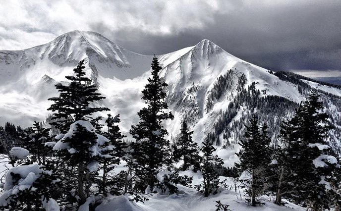
NPS photo by Neal Herbert A feature common to the landscape of the Colorado Plateau is the Island Mountain Range, represented in southeast Utah by the Abajos, Henrys and La Sals. These ranges formed during the late Tertiary Period (15 to 40 million years ago), long after the local sandstones had been deposited and cemented into rock. Commonly called Laccolithic Intrusions, these mountains were created when molten rock flowed up from the earth's mantle, causing the overlying sandstones to bow up. These flows never erupted, however, and only after millions of years of erosion have the igneous rocks within them been exposed. Sedimentary rocks can still be found on top of some the peaks today.
|
Last updated: December 11, 2015