|
Experience all that America’s first national water trail has to offer. Paddle on bright, open waters and through grassy marshes teeming with wildlife. Float down winding river valleys where bald eagles, osprey, and buzzards soar overhead. Ways to Plan Your Visit: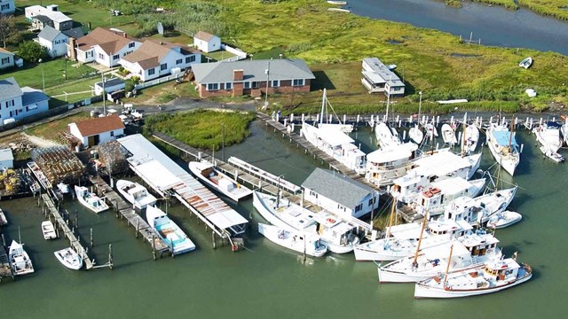
Places to Go
Discover the trail's visitor centers and contact sites located throughout the Chesapeake region. 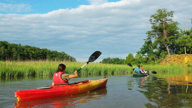
Things To Do
The trail offers countless ways to enjoy the rivers, marshes, and coastlines of the Chesapeake Bay. 
Trail Map
View a map of the trail's route and key sites along the way. 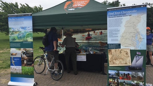
Upcoming Events
A calendar of events for the Captain John Smith Chesapeake National Historic Trail and its partners. 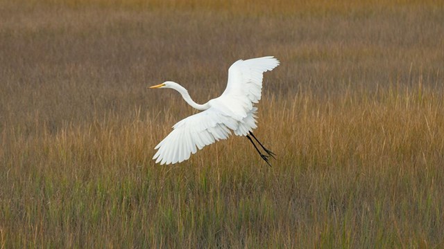
Virtual Visits
Can't come to the trail in person? Explore photos, videos, and wildlife webcams that will transport you to the rivers and shores of the Bay. |
Last updated: January 10, 2024