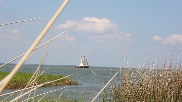
Trail Planning
View the trail's management plans, interpretive plan, and conservation strategy, as well as documents that led to the trail's establishment. 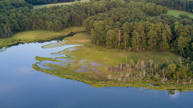
Werowocomoco Planning
Trail staff are working alongside tribes to steward this recently recovered site. Find updates on Werowocomoco's management here. |
Last updated: June 22, 2021