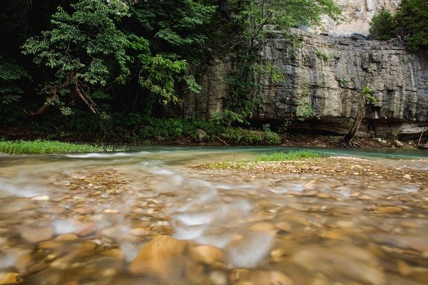
T. Fondriest As the erosional processes act upon the surface of these geologic ecoregions, distinct stream morphologies result. The Boston Mountains are higher in elevation and composed of more weather resistant rock, and thus have produced high gradient streams with large car-sized boulders confining large reaches of the headwaters. The Springfield Plateau streams are quite different. They are medium gradient streams that have substrate composed primarily of cobble and gravel which periodically come in contact with the limestone bedrock of the Boone Formation. The streams of the Salem Plateau are generally more bedrock controlled than that of the Springfield. Differences in stream morphology can effect the diversity and composition of macroinvertebrates and fish, the basic chemistry of the water, and the response of the stream system to disturbance. The Buffalo River is unique in that its headwaters are located in the Boston Mountains and flows north into the Springfield Plateau. Once it intersects the Springfield the river turns east and flows between the boundary of the two geologic provinces. |
Last updated: December 14, 2017
