


Last updated: June 9, 2026

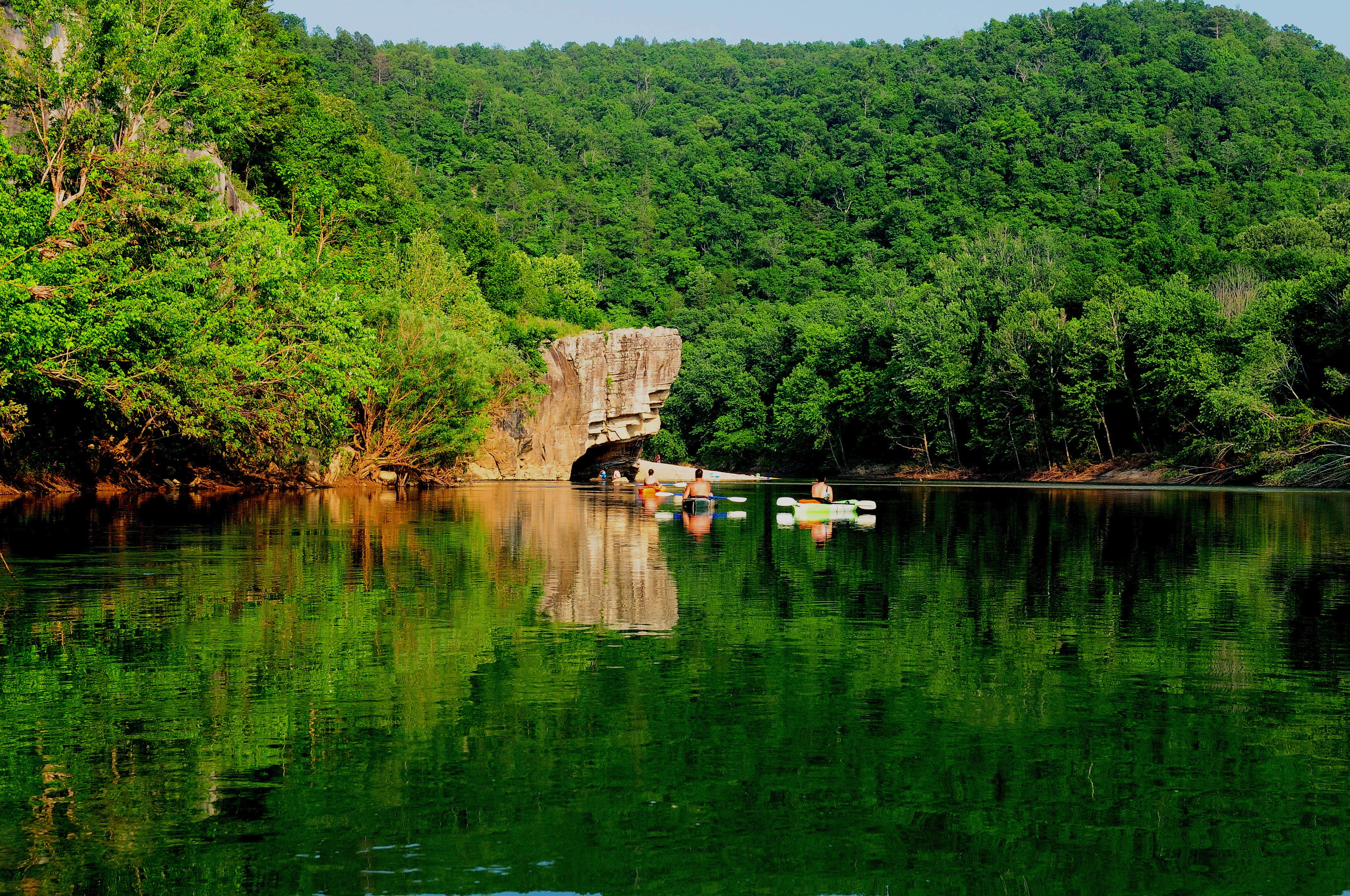
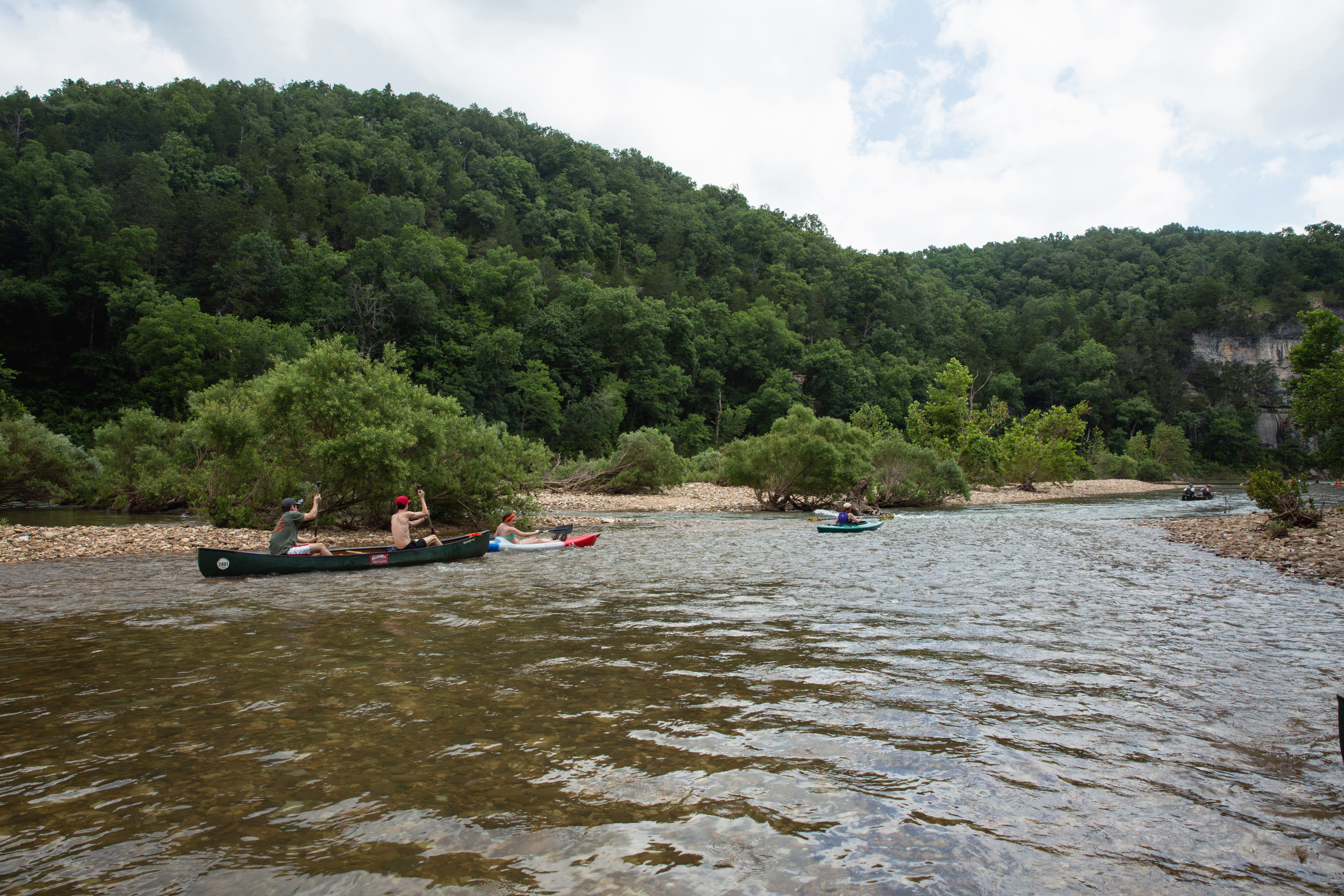
Paddle the River
Learn about the various stretches of river that you can paddle and how to prepare for your river trip.

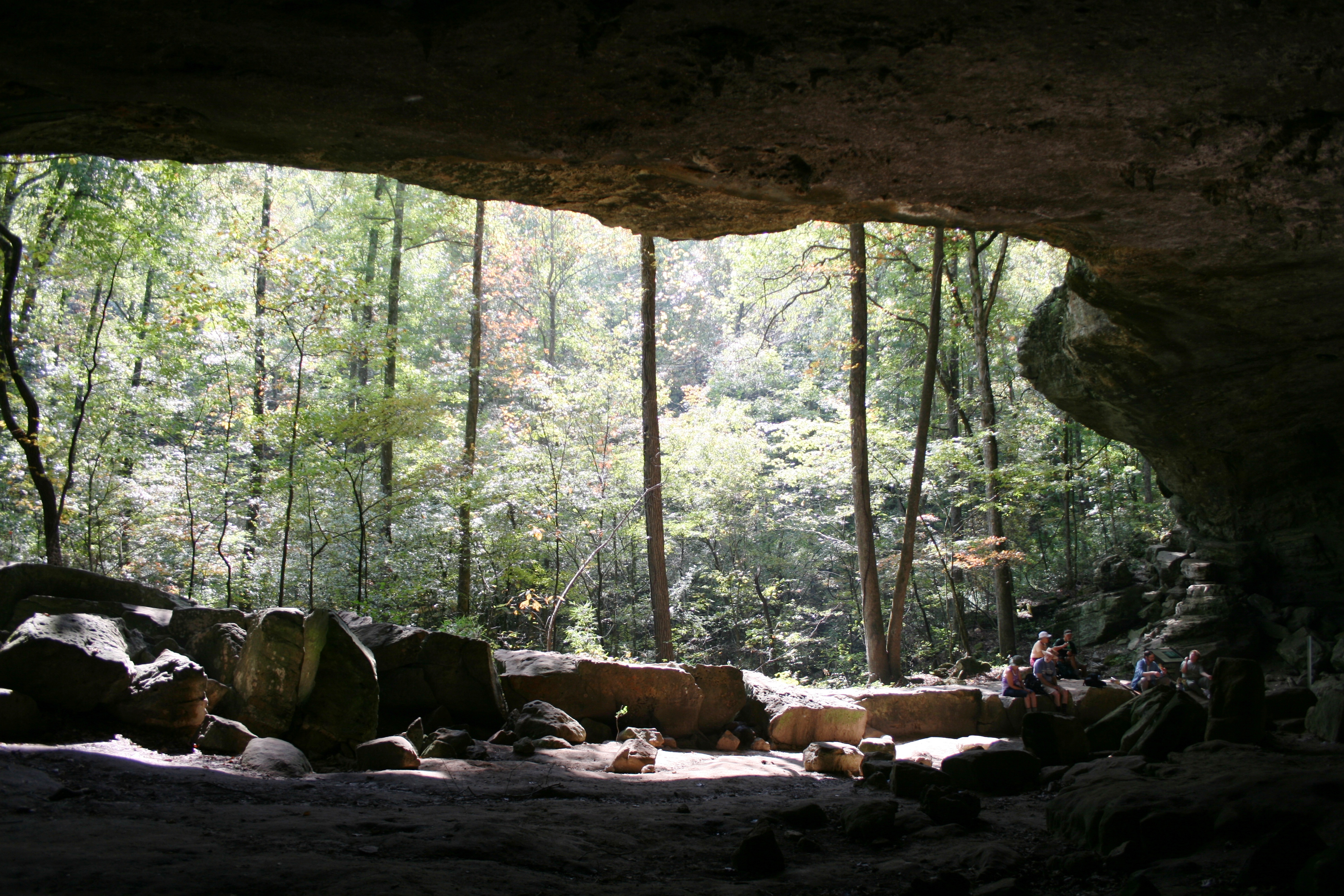
Find Your Trail
Learn more about the park's hiking trails and prepare for your next outdoor adventure.

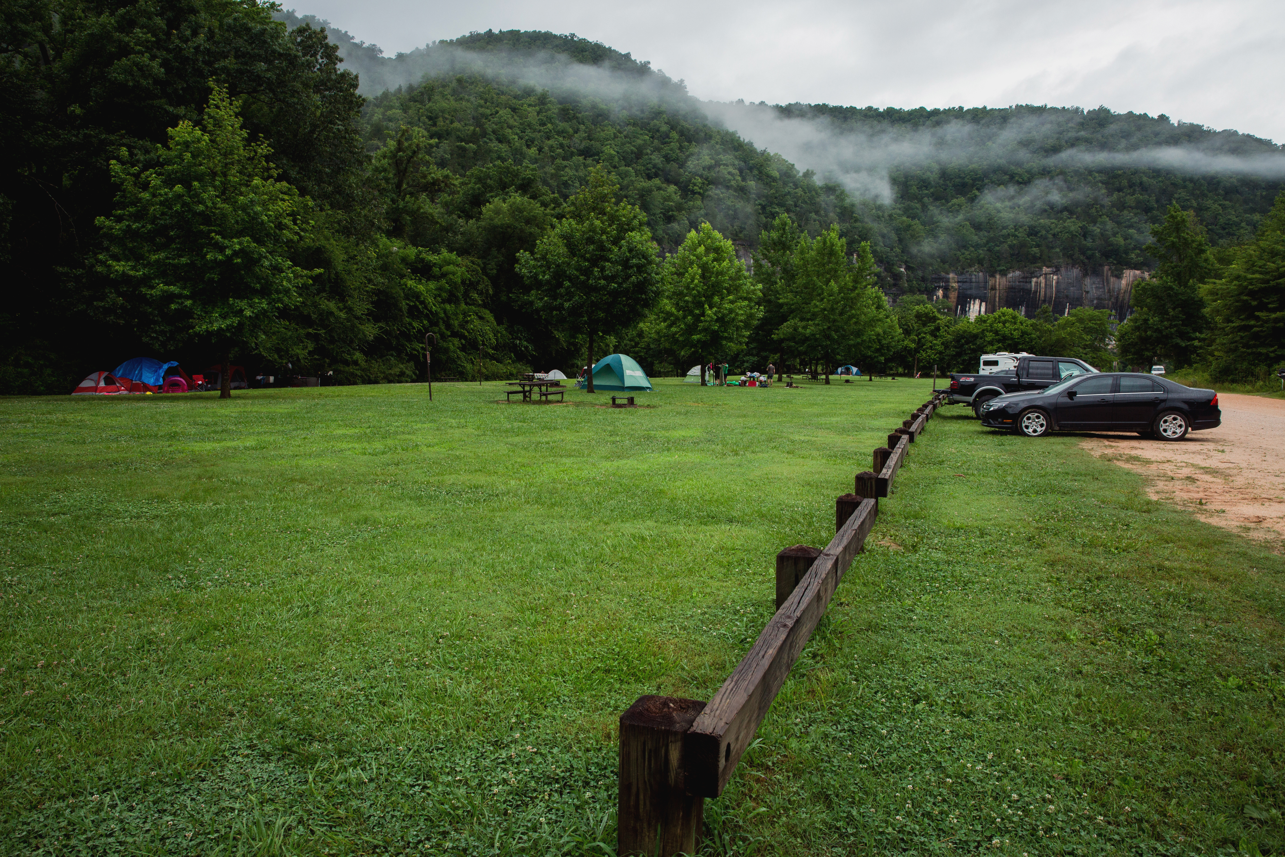
Find a Campsite
Learn about the park's various campgrounds and amenities offered at each one.

Come for the River, Stay for the Stars
Learn more about night sky viewing in the park.

Pets in the Park
Learn about where you and your pet can enjoy the park together.

Reserve a Spot at the Buffalo
Pavilions, group sites, and some individual campsites are available for reservation.

Float Guide
Check out real-time river flow conditions before you get on the river.

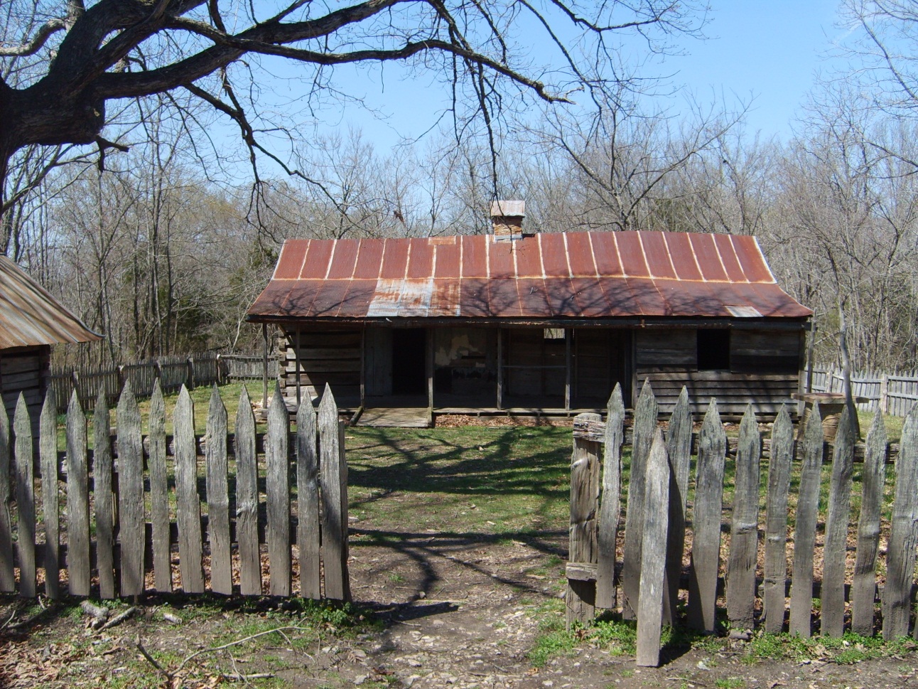
History & Culture
The Boxley Grist Mill invites visitors to step back in time.

Preventative Search & Rescue
The most common accidents and injuries at Buffalo National River are preventable. Recreate responsibly by following these guidelines.

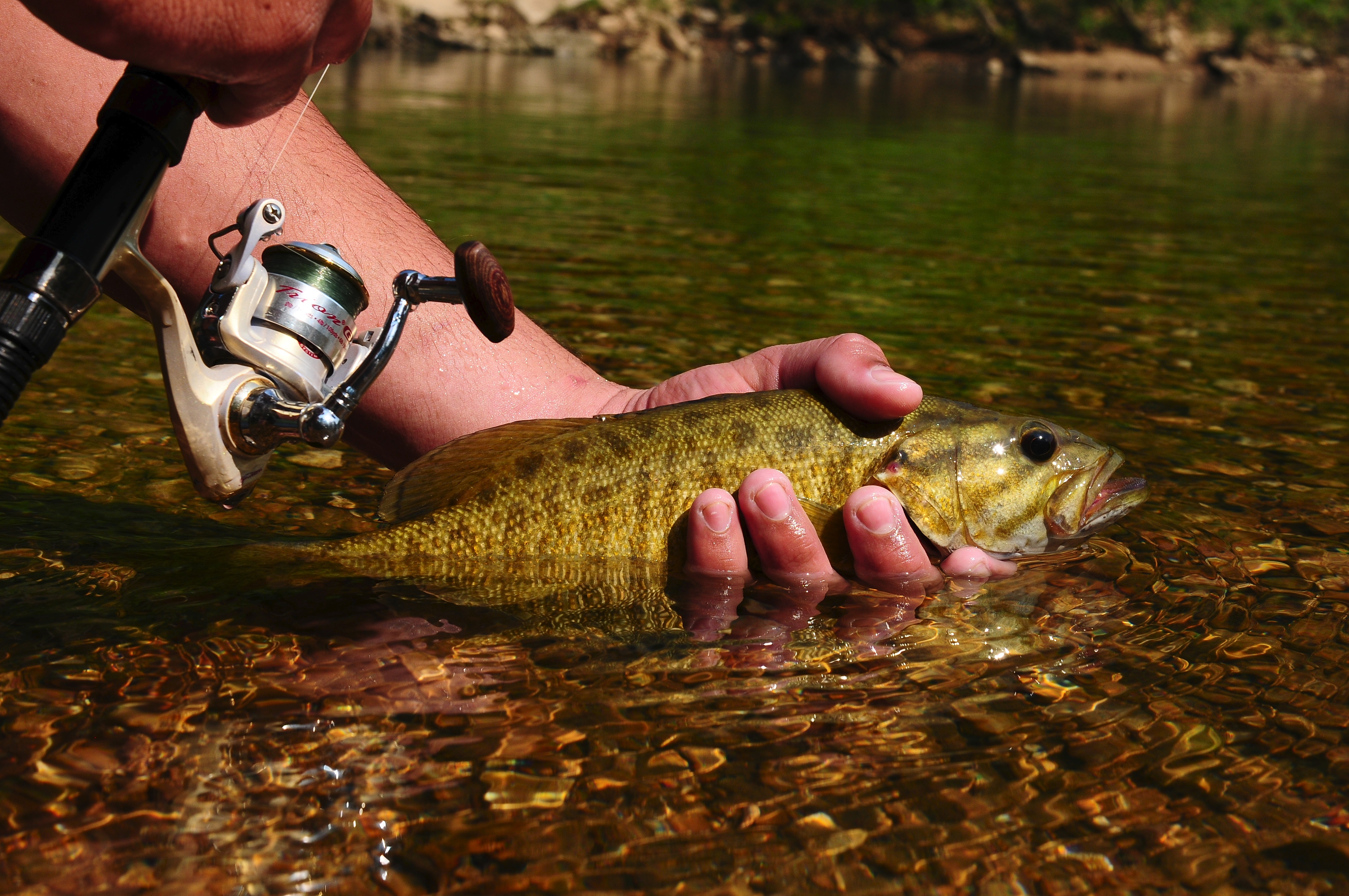
Fishing
With 135 miles of river and several miles of tributary streams, fishing opportunities are abundant at the Buffalo.

Fees & Passes
Buffalo National River does not charge an entry fee, but there are camping fees. Learn more about the fees and plan for your next trip.