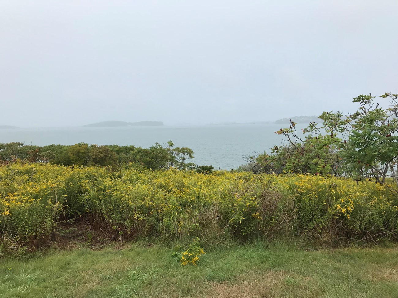
NPS Photo Walking trails and the remains of an old stone farmhouse make up the landscape of this picturesque island. Slate and shell beaches and open fields provide a relaxed atmosphere on Bumpkin Island. Trails lined with wild flowers lead visitors to the remains of a stone farmhouse and a children's hospital. General InformationThis island of Boston Harbor Islands National and State Park is managed by the Massachusetts Department of Conservation and Recreation (DCR). Visitor Facilities & Services
Short HistoryPrior to European settle colonization, Indigenous peoples likely accessed this island. During colonization, the island was leased to tenant farmers. The island hosted a fish-drying operation in the early 1800s and a fish smelting operation in the early 1900s. In 1900, Albert Burrage, a Boston philanthropist, founded a hospital for children with physical disabilities. During World War I, the US Navy took over the island to use it as a US Naval Training camp, which the Navy dismantled after the war. The hospital reopened briefly in about 1940 for polio patients but closed during World War II and burned in 1945. Natural History OverviewVegetationSeveral large trees, approximately 100 years old, possibly date to the early hospital period, including white birch (Betula papyrifera), pear (Pyrus sp.) and apple (Malus sp.) trees. A single yew (Taxus sp.) may have been part of an early 1900s ornamental planting. Most of the island is covered with early successional tree, shrub and vine species representative of a landscape reverted from managed lawns and gardens in the early 1900s.
WildlifePlease see Animals page for more information. GeologyThe island is composed of a central drumlin, elevation 70 feet, surrounded by a rock-strewn shoreline. A sand spit, exposed at low tide, connects the eastern end of the island to Sunset Point in Hull. Views and VistasThree vantage points are managed to enhance views. Two group picnic areas on the southwest side of the island offer excellent views of the Hingham Islands (Sarah, Ragged, Langlee and Worlds End), as well as Slate, Grape, and Sheep Islands. An outlook shelter on the northwest side of the island offers views of Boston, Peddocks, and Hull, with a partial view of Great Brewster Island. Structures
|
Last updated: July 13, 2024
