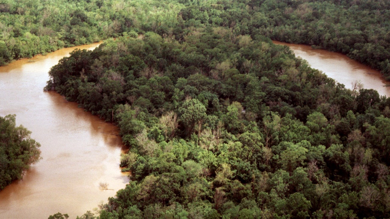
NPS Photo Hydrologic FactorsWith 6 waterway units, a long stretch of the Neches River, and numerous smaller water courses (totaling 250 miles of waterways) running through the Preserve, the interest in water management and hydrology is a critical issue. The flow of the Neches River has been altered by the installation and operation of the Sam Rayburn Reservoir on the Angelina River just above the confluence of the Angelina and Neches Rivers, and by the installation and operation of Lake B.A. Steinhagen on the Neches River just upstream of the Preserve’s northern boundary. These two dams have changed the lower river flow by reducing the frequency and duration of both high and low flows. The loss of the high flows especially is of concern as the out-of-bank flows flushed the side channels, spread nutrient rich silts into the surrounding bottomland forests, and recharged the numerous oxbow lakes. As water demands continue to increase in east Texas, especially at the large urban areas like Dallas-Fort Worth, Houston, and Beaumont; and, at the large refineries along the Gulf Coast, the waters of the Neches and its tributaries becomes more and more in demand. In fact, 2 other dams have already been proposed on the Neches including the Fastrill and Rockland Dams. With the construction of a permanent saltwater barrier on the Neches River at river mile 29.7 near Beaumont, Texas in 2003 and the ongoing maintenance of a shipping lane from the Gulf through Lake Sabine and up to the Port of Beaumont, another hydrologic issue has arisen that is impacting several thousand acres of recently acquired preserve land. Salt water intrusion has become a concern as more seawater is able to make its way up the lower Neches while more water is used by public and industrial water uses so less freshwater is available to restrict or flush the saltwater out. This was very apparent during the regional drought that occurred from 2011 to 2012 where brackish, dark water occurred below the barrier, little freshwater was released, and saltwater fish and crustaceans actually were being caught by the fisherman near the barrier. This is resulting in significant mortalities of bald cypress and water tupelo throughout the cypress and tupelo forests below the saltwater barrier. Predicted rises in ocean levels from climate change impacts are only expected to exacerbate the problem and could lead to an eventual conversion to saltwater marshlands. Important research is ongoing related to this issue with USGS scientists and university researchers taking a very active role. |
Last updated: April 28, 2025
