Mountain Building
The major mountain building episode for this section of the Rocky Mountains is known as the Laramide Orogeny. The uplifting started about 70 million years ago.
The Bighorn Mountains
The Bighorn Mountains were uplifted in a big, long arch that geologists call an anticline. They are about 150 miles long and about 60 miles across. The highest point of the uplift was in the middle where presently Cloud Peak reaches 13,167 feet elevation.
The arch dips steeply to the east and west and slopes gently to the north and south. By studying the rocks in the highest parts of the mountains and the lowest parts of the Bighorn Basin to the west, we know the mountains have been uplifted more than 30,000 feet higher than the same level of rocks in the basin.
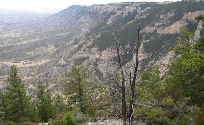
The Pryor Mountains
The Pryor Mountains are to the west and north of Devil Canyon Overlook in Bighorn Canyon National Recreation Area. They are good examples of fault block mountains. When viewed on the drive out to Horseshoe Bend on WY 37, the tilted up fault blocks of Big Pryor Mountain and East Pryor Mountain are obvious to the north.
They have steep east facing fronts that have eroded back from the plane of the fault zone and gentle slopes off to the west controlled by the by the resistance to erosion of the Madison Limestone.
Beyond the rim of the canyon you can find even more diveristy of life and ecosystems.