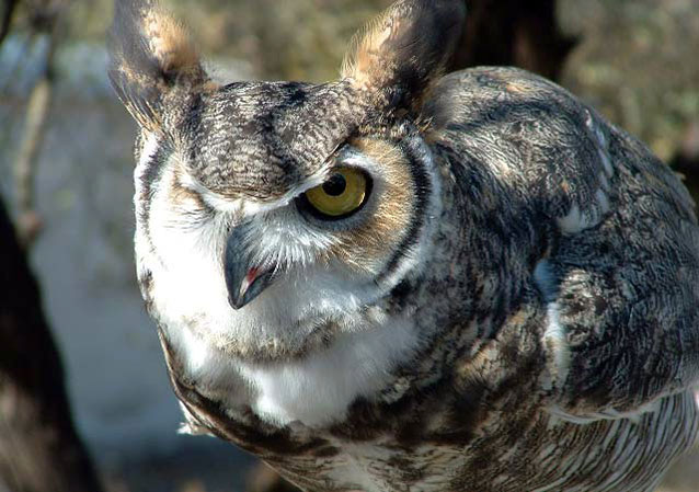
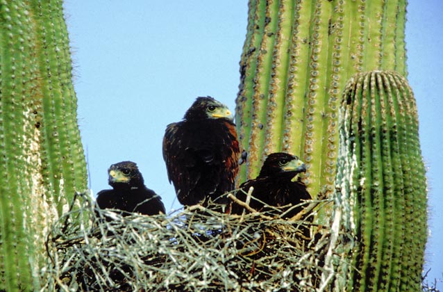
Landbirds are one of many natural resources monitored by the National Park Service (NPS) Division of Inventory & Monitoring (I&M). Landbirds are considered good indicators of ecosystem health for many reasons. In NPS units of the American Southwest, three I&M networks monitor landbirds using the scientific protocol described here.
NPS photo.
Landbirds are a conspicuous component of many ecosystems. Because they have high body temperatures, rapid metabolisms, occupy high trophic levels, and can respond quickly to changes in resource conditions, landbirds are considered good indicators of ecosystem health. In addition, landbirds are highly detectable relative to other vertebrates, and they can be efficiently surveyed with the use of several standardized methods.
Landbirds are also protected under the legal mandates of the Endangered Species Act (1973) and Migratory Bird Treaty Act. Monitoring changes in landbird population and community parameters can be an important component of any comprehensive, long-term monitoring program.
For these reasons and because they are specifically identified in the management objectives of many network parks, the National Park Service’s Southern Plains, Sonoran Desert, and Chihuahuan Desert Inventory and Monitoring Networks have chosen landbirds as a focus for long-term natural resources monitoring. To gain operational efficiencies and improve the spatial and thematic scope of our results, the three networks conduct monitoring in an integrated, collaborative fashion, in partnership with the Rocky Mountain Bird Observatory.
Monitoring Objectives
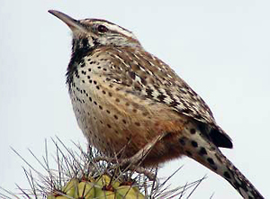
Photo by Dan Dirks.
Specific, measurable objectives for landbirds monitoring are:
- To estimate the proportion of points occupied for most species in most parks. Occupancy is a measure of presence or absence of a species in space. This measure, when evaluated across time, indicates changes in the distribution of a species.
- To estimate parameters related to community dynamics—particularly species richness and composition, which are essential to understanding the effects of changing landscapes and management practices on native biodiversity. Using community-level estimators is an efficient means of obtaining meaningful landbird data within our operational constraints.
- To estimate density of the most common species using the point-transect distance-sampling method at fixed points. Where assumptions are met, density estimates can provide a robust and widely accepted method for estimating bird abundance. For larger parks, we will likely be able to estimate density for only the most common species, due to time and other constraints on field efforts.
Methods
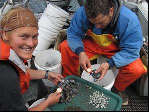
The researchers developed an aerial survey method specifically for counting sea otters and estimating abundance and distribution. Aerial surveys were conducted annually.
From vessels and from the shore, the researchers observed thousands of sea otter foraging dives and recorded information on foraging success and efficiency based on prey numbers, types and sizes obtained, and time expended.
Benthic invertebrates, such as clams, urchins, crabs, and snails, were collected by divers, measured, and returned to the seafloor. This study compared the fauna of intertidal and subtidal habitats before and after their re-occupation by sea otters.
Products, Scope, and Schedule

NPS photo.
Network-scale status and trends reports and park-specific landbird resource briefs are produced annually. Appropriate assessments of potential trends requires several years of data, so early reports focus on current status and species composition. The scale of inference of each report is the individual park.
Information on bird communities and natural history is also communicated through live presentations, updated bird checklists and other written summaries, and podcasts and other media produced and distributed through the network websites and the Science of the American Southwest website (www.nps.gov/swscience).
Protocol Status
The protocol and standard operating procedures for the Sonoran Desert Network were approved in December 2008. The protocol is currently being revised to incorporate Southern Plains and Chihuahuan Desert Network parks. A database and supporting documentation that meet NPS and FGDC standards are complete and available. Final data from 2007–2008 are available from the NPS DataStore. Data from 2009 and on are available from the Rocky Mountain Bird Observatory (http://rmbo.org/v3/avian/ExploretheData.aspx).
Protocol Implementation
|
Parks where landbirds monitoring is being implemented |
||
|
Year |
Park |
Inventory and Monitoring Network |
|
2010 |
Amistad NRA |
Chihuahuan Desert |
|
|
Big Bend NP |
Chihuahuan Desert |
|
|
Carlsbad Caverns NP |
Chihuahuan Desert |
|
|
Fort Davis NHS |
Chihuahuan Desert |
|
|
Guadalupe Mountains NP |
Chihuahuan Desert |
|
|
White Sands NM |
Chihuahuan Desert |
|
2009 |
Alibates Flint Quarries NM |
Southern Plains |
|
|
Bent’s Old Fort NHS |
Southern Plains |
|
|
Capulin Volcano NM |
Southern Plains |
|
|
Chickasaw NRA |
Southern Plains |
|
|
Chiricahua NM |
Sonoran Desert |
|
|
Coronado NMem |
Sonoran Desert |
|
|
Fort Union NM |
Southern Plains |
|
|
Fort Larned NHS |
Southern Plains |
|
|
Gila Cliff Dwellings NM |
Sonoran Desert |
|
|
Lake Meredith NRA |
Southern Plains |
|
|
Lyndon B. Johnson NHP |
Southern Plains |
|
|
Pecos NHP |
Southern Plains |
|
|
Sand Creek Massacre NHS |
Southern Plains |
|
|
Washita Battlefield NHS |
Southern Plains |
|
2008 |
Tonto NM |
Sonoran Desert |
|
2007 |
Casa Grande Ruins NM |
Sonoran Desert |
|
|
Fort Bowie NHS |
Sonoran Desert |
|
|
Organ Pipe Cactus NM |
Sonoran Desert |
|
|
Montezuma Castle NM |
Sonoran Desert |
|
|
Saguaro NP |
Sonoran Desert |
|
|
Tuzigoot NM |
Sonoran Desert |
|
NHP = National Historical Park; NHS = National Historic Site; NM = National Monument; NMem = National Memorial; NP = National Park; NRA = National Recreation Area
|
||
NPS photo.
Project Contact
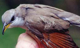
NPS photo.
Robert E. Bennetts, Southern Plains Network
robert_bennetts@nps.gov, (719) 846-4663
Last updated: October 1, 2018
