Last updated: April 23, 2024
Article
Indust-tree-ous Mapping Methods
Using geographic information systems to map trees at Baltimore Area National Parks

NPS
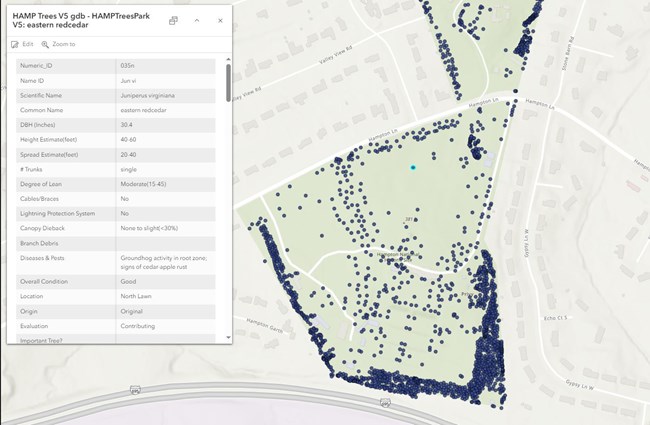
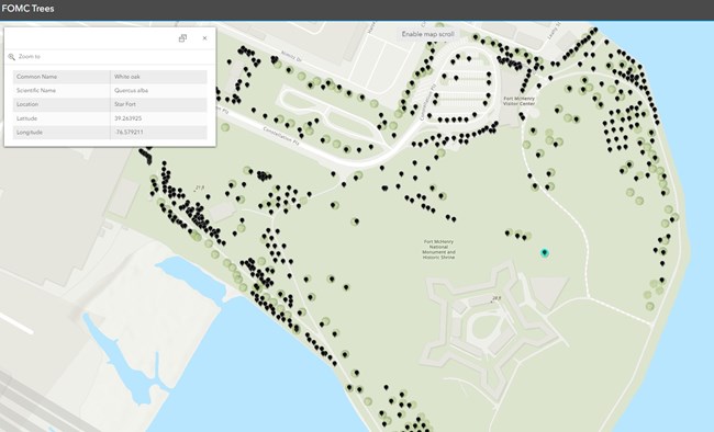
Every tree at both Hampton National Historic Site and Fort McHenry National Monument and Historic Shrine in Maryland is now documented, mapped, and labeled thanks to four interns - and some pretty cool technology!
Over the last two years, interns from local universities have come to the Baltimore Area National Parks through the Cooperative Ecosystems Studies Units (CESU) Network and the Chesapeake Conservation and Climate Corps (CCCC). Each intern trained the next in the workflows for mapping the trees, analyzing the data, and deriving meaning from the visual representation.

NPS

NPS
For smaller parks like Hampton, individual tree mapping is a great way to find out where natural resource management can be improved. Hampton has over two thousand trees, including several deemed important for their historical context. Many trees are county or state champions and are also considered to be “witness trees" meaning they were present during a grand historical or cultural event of America. Not every tree at Hampton is old, however. Beginning in 2021, the Emerald Ash Borer began to decimate the area’s population of ash trees, including those at Hampton. To help reforest parts of the site, there are over 400 new trees that were planted in just the autumn months of 2023, and over 600 that have been planted since 2021. The map serves as a management tool to help staff make informed decisions about natural resources and quickly write work orders to aid in reforestation efforts!

NPS
Tags
- fort mchenry national monument and historic shrine
- hampton national historic site
- star-spangled banner national historic trail
- national park week
- national park week 2024
- park innovation
- discovery and innovation
- hampton national historic site
- hampton nhs
- fort mchenry national monument and historic shrine
- fort mchenry
- star-spangled banner national historic trail
- star-spangled banner nht
- wwi
- impacts
- medicine
- hospital
